
Viewpoints in Trans Nzoia


Endebess Bluff: The Elephant Platform
It is about 3 km from Chorlim Gate, passing Kitum and Makingeny caves, to the Elephant Platform more popular as the Endebess Bluff, one of the most stunning viewpoint in these neck of the woods. A good road, Mout Elgon Park Road, going around the park, through many of the great sights, is usable year round, but some caution is necessary over the rainy season. At this time a sturdy vehicle is almost mandatory. If you’re a fan of nature and panoramic views, this one is a must-visit! Endebess Bluff offers sweeping views of the surrounding valleys, mountains and farmland, far as the eye can see. There’s even a small walking trail with a safety fence at the very edge, offering even more expansive views of the countryside.
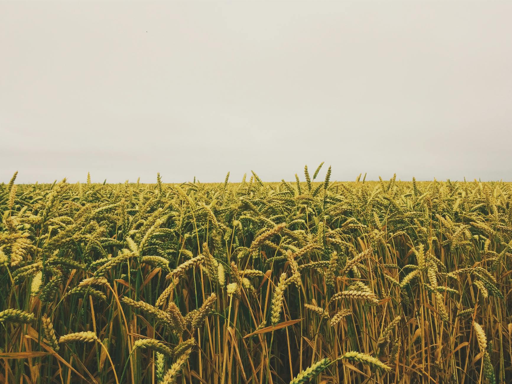
From the moment you get to the bluff, you’re treated to a picturesque landscape that changes with the time of day – sunsets over the distant hills are particularly epic. The distant farmland are pretty, too. Agriculture is the main economic stay in Trans Nzoia County, with large swathes of land dedicated to large-scale farming. The beauty of this region is defined too by the homogenous farmlands, sprucely transformed with every passing season. Trans Nzoia County is home to scores of the biggest farmlands in Western Kenya found mostly around the Endebess-Kitale Plains. Most of these farms belong to the Agricultural Development Corporation and the main crops include maize, coffee, pyrethrum, tea, beans and sunflower.

From stunning views of the Great Rift Valley to serene coastlines, Kenya is blessed with breathtaking viewpoints that offer travelers unforgettable panoramas. These destinations not only provide amazing photo backdrops but also inspire awe and appreciation for the natural world. Showcasing the diversity and beauty of our planet, these viewpoints are sure to leave an indelible mark on your journey.
Amazing Viewpoint Around Kenya


Busia County - Kakapel Rock, Embu County - Karue Hill, Riakanau Viewpoint, Elgeyo Marakwet County - Iten Viewpoint, Nyaru Viewpoint, Kolol Viewpoint, Homa Bay County - Lambwe Valley, Kisii County - Keroka Landscape, Kitui County - Ikoo Valley Viewpoint, Nzambani Rock, Kwale County - The Elephant Lookout, Laikipia County - Mukutan Ridge, Machakos County - Kanzalu Thui Stone, Makueni County - Makongo Viewpoint, Thwake Dam Viewpoint, Meru County - Kierra Ridge, Mwonyo Valley, Nakuru County - The Great Rift Valley Viewpoint, Elementaita Viewpoint, Menengai Viewpoint, Nandi County: Nandi Rock, Tabolwa Rock, Ketbarak Viewpoint, Nyamira County - The Emanga Ridge, Nyandarua County - Gitwe Viewpoint, Heni Viewpoint, Kinangop Plateau, Samburu County - Ngurunit Valley, El Barta Plains, Malaso (Losiolo) Viewpoint, Taita Taveta County - Vuria Hill, Lion's Bluff, Mudanda Rock, Shetani Lava, Mzima Springs, Chaimu Crater, Salaita Hill, Tharaka Nithi County - Kierra, Nithi Bridge Viewpoint, Trans Nzoia County - Endebess (Elephant) Viewpoint, West Pokot County - Kapkoris Hill Viewpoint, Kaisagat Viewpoint, The Marich Pass Centre, Turkwel Gorge


Trans Nzoia County is a vital region for Kenya’s agricultural and ecological balance. Its rich history, cultural diversity, and natural beauty make it a unique and valuable part of the Rift and Western Kenya. The county’s potential for growth remains immense, particularly in agriculture, tourism, and environmental conservation.
You Are Here: Endebess Bluff Viewpoint
Where to Next?
Explore Destinations Nearby Endebess Bluff Viewpoint
A Guide to Trans Nzoia County


A Summa Digest of Trans Nzoia

About Trans Nzoia Way Back When

30 Destinations in Trans Nzoia County, arranged as one would visit these - south, west then north - with aid of in-depth narratives, images, strip maps and distance chart:

Mount Elgon National Park, Koitoboss Peak Hike, Wagagai Peak Hike, Chesurur Falls, Kitum Cave, Macking’eny Cave, Ngwarisha Cave, Endebess Bluff, Chepnyalil Cave, KWS Koitoboss Guesthouse, Kapkuro Bandas, Mount Elgon Lodge, Suam Gorge, Mt. Elgon Orchards, Mount Elgon Guesthouse, Kamariny Cave, Kitale Plains, Kitale War Memorial, Kitale Museum, Kitale Club, Treasures of Africa, Kitale Nature Conservancy, Sirwo Resort, Cranes Haven, Saiwa Swamp National Park, Tree Top Hut, Kapolet Fishing Camp, Kapcherop Forest, Cheranganis, Barnley’s Guest House, Kaisagat Hill

Know More About Trans Nzoia: Its Geography, Land-Use, Highlights, Population, Roads - with the aid of strip maps, Airports, Climate & National Monuments

What’s The Lay Of The Land in C.26?
Trans Nzoia can be split into three definitive ecological zones: Upper Highland Zone, Upper Midland Zone, and the Lower Highland Zone. These zone lie between 4,313 m in Mount Elgon to 1,700 ms asl.

What’s The Air Like in T. Nzoia?
Trans Nzoia has a highland equatorial type of climate. Rainfall is well distributed throughout the year, the higher areas in the west receiving more. Average annual temperature is 24oC.

 Abiri Kenya