
Geography, Land-Use, Highlights, Population, Roads, Airports, Climate & National Monuments


Geography of Lamu County
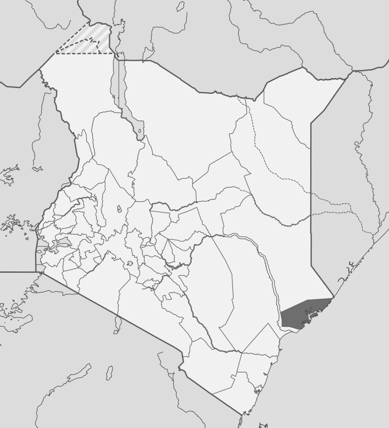
Lamu County’s 6273.1 km2 is composed of a coastal zone of islands, vast creeks, bays, sand bars and mangrove swamps that are rich with marine resources. The islands consists of the Lamu-Kiunga Archipelago, which incorporates a chain of about 65 modest calcareous offshore islands and coral reefs extending 60 km parallel set close to the coastline. Among these string of islands is Lamu Island that hosts Lamu Town. These shelter an extensive system of creeks and channels.
Mangrove forests also add significant biodiversity areas. Most of the islands are fully enclosed within the Kiunga Marine National Reserve. The mainland area consists of forested areas and grasslands that are habitat to diverse wildlife including birds and primates. Dodori National Reserve is set on the mainland in Kiunga area and is wholly in Lamu. Boni National Reserves is located along the northern border with Garissa with only a small strip stretching along the border. To the southern end of Lamu Country area sits the virgin Witu Forest Reserve.
Land Use in Lamu County
Crop production in Lamu County is mainly undertaken on the main land, with main crops cultivated to include: maize, cassava, peas and green grams. Cash crops cultivated include: cotton, cassava, coconut, mangoes, bananas, bixa and mangroves. 42% of households’ income is from cotton. Because of the sandy soil on the majority of the 50 islands, only limited large cultivation is possible, like tobacco plantations in Pate and of coconuts, mangoes and bananas in Lamu.
Highlights in Lamu County
Tourism is a major economic activity in Lamu County. It enjoys unique advantage as a tourist destination influenced by its rich diversity of cultural identity, home to a UNESCO World Heritage Site, its fauna and flora. The three prominent islands of Lamu, Manda and Pate are a blend of deep blue channels, coral reef, wide sandy beaches and protected bays. There are three National Reserves and three private ranches which are home to diverse species of fauna. Lamu County has three tourist class hotels and 181 unclassified hotels with a total bed capacity of 1881.
Population in Lamu County
Lamu County’s population as projected in 2012 stood at 112,551 people. Lamu Town, which is its capital, is also the main urban centre. Mpeketoni, which is rapidly developing, is the main market centre and has the potential to surpass Lamu Town. Lamu County is made up of cosmopolitan population composed of indigenous communities mainly of Swahilis, Arabs, Korei, Boni, and the Ormas.
Airports in Lamu County
Lamu County has 13 airstrips: 11 public and 2 private. Manda is the main line of aerial communication, with 3 major airline companies providing routine daily flights. The rest of the airstrips are not very active, used by small charter planes.
Roads in Lamu County
Lamu County has a total road network of 688.6 kms, with only 6 kms being tarmacked, making travelling by road troublesome especially during the rainy season. The two main roads are the C112 Mokowe-Garsen Road connecting to the rest of the coast counties and Mokowe-Kiunga Road connecting to Somalia.
Climate in Lamu County
Lamu County enjoys two rainy seasons and temperatures range between 23 to 32 degrees Celsius year round. Lamu lies along the Equatorial Climate Systems where the weather is typified by two monsoon winds and warm climate. The mean annual evaporation is high at 2,327 mm per year and the temperatures ranges between 24°C and 30°C. Generally and over the last 30 years, there has been an increase in both the annual average rainfall and mean temperature in Lamu. Hottest months are December to April while the coldest are May to July.
National Monuments in Lamu County
- Pate Ruins
- Brooks Quarry Site
- Bwana Bakari Mosque
- Ishakani I
- Ishakani II
- Ishakani III
- Shanga
- Omwe
- Kiunga
- Lamu Fort
- Lamu Town
- Manda Ruins
- Mambore
- Siyu Fort
- Jamia ya Siyu
- Lango la Shee of Siyu
- Mwana
- Lamu Catchment Area
- Lamu Veterinary Office
- House of Habib Swaleh

Lamu County is one of Kenya’s most unique and enchanting regions, known for its rich Swahili culture, pristine beaches, and UNESCO-listed heritage. Located on the northern coast of Kenya, it consists of a group of islands (Lamu, Manda, Pate, and Kiwayu) and a stretch of mainland coastline. Lamu Island in particular is more than just a destination—it’s a living piece of Swahili history and coastal paradise.
You Are Here: Lamu County
Where to Next?
Explore Destinations in Lamu County
A Guide to Lamu County


A Summa Digest of Lamu

About Lamu Way Back When

70 Destinations in Lamu County, arranged as one would visit these - west, south, north then west - with aid of narratives, images, strip maps and distance chart:

Delta Dunes Lodge, Lake Moa, Old Town Witu, Witu Forest Reserve, Pangani Swamp, Lake Kiboko, Amu Ranch, Lake Amu, Kipini Conservancy, Lake Kenyatta, Amu Baharini Beach, Kizuke Beach, Lamu (Manda) Port, Red Pepper House, Lamu Island, Matondoni Dau Workshop, Matondoni Ruins, Tusitiri Dhow, Kipungani Ruins, Kizingoni Beach, Old Town Lamu, Lamu World Heritage Sector, Lamu Museum, The Swahili House Museum, German Post Office Museum, Lamu Fort, Lamu Market, Masjid Khoja Ithnasheri, Masjid Riyadha, House of Habib Swaleh, The Mosque College Lamu, Lamu Catholic Church, Tamarind Tree Cafe, Donkey Sanctuary, The Floating Bar, Boat Rides, MaraRaha, Kijani Hotel, Shela Village, Friday Masjid, Forodhani House, Peponi Hotel, Shela Beach, Bahari Restaurant, Fort at Shela, Ras Kitau, Diamond Village, The Maljis, Takwa Ruins, Manda Island, Manda Lodge, Manda Toto, Manda Coral Quarry, Nabahani Ruins, Pate Island, Shanga Ruins, Siyu Fort, Shindamweh, Atu Ruins, Chundwa Ruins, Faza Village, Lamu Monuments, Mangrove Forests, Dodori National Reserve, Kiunga Marine N. Reserve, Kiwayu Island, Ashuwei, Boni Forest National Reserve, Ishakani Ruins, Lamu Festivals

Know More About Lamu County: Its Geography, Land-Use, Highlights, Population, Roads - including distance chart, Airports, Climate & National Monuments

What’s The Air Like In Lamu?
Lamu County lies along the Equatorial Climate System, enjoying two rainy seasons and temperatures between 24°C and 30°C year round – Hottest in December & April


What’s The Lay Of The Land In C.05?
Lamu is composed of a coastal zone of 65 islands, vast creeks, bays, sand bars and mangrove. Among these, Lamu Island, hosting Lamu Town, is the bussiest. The mainland is flat to undulating.
