
Major Rivers in Kitui


Galana River: An Invaluable Lifeline
9 km north of Malindi via B8 Malindi-Mombasa Road you cross the Sabaki River Bridge, appreciably close to the point where Athi-Galana-Sabaki River, Kenya’s second longest, debouching its waters into the Indian Ocean after flowing for 390 km from its headwaters on the eastern flank of Aberdare Mountain Range. It first flows as the Athi in Machackos County, then as the Galana as it crosses Tsavo East National Park, diving the park in half, and finally as Sabaki as it nears its terminus.
River Sabaki estuary, about 2 km downstream, part of which is observable from Sabaki Bridge, covers an area of about 6 km2 of sandbanks, mudbanks, dunes, freshwater pools and marshes. The state and size of the estuary varies seasonally depending on river flows, ergo Sabaki River mouth is one of the Important Bird Areas in Kenya, hosting a prolific display of the migratory Madagascar Pranticole and is also an important nesting, roosting and feeding ground for gulls and terns.
A total of 68 species have been recorded here with a maximum count of 11,753 birds. Peak numbers are often in April. Counts of tern and gull roosts have also been carried out at peak times when birds were most abundant. High numbers of terns have been recorded in February with a night-time roost of Sundowners in the region of 80,000 birds – day time counts occasionally reach 25,000 birds. Other species recorded in sufficient numbers at River Sabaki estuary include; pelicans, cormorants, herons, flamingos, ducks, geese, waders, gulls, and terns.
Away from birding, the inland impact means the outflow of Sabaki River, which transports a large amount of suspended load from the inland, especially during the rainy and wet seasons, to the northern part of the Malindi area, also blocks off penetration of sunlight into the water and around Sabaki. As a result, the marine impacts are definitely represented by the formation of coral reefs, in diminution, because, naturally, corals invariably prefer clean, warm and nutrious sea waters.
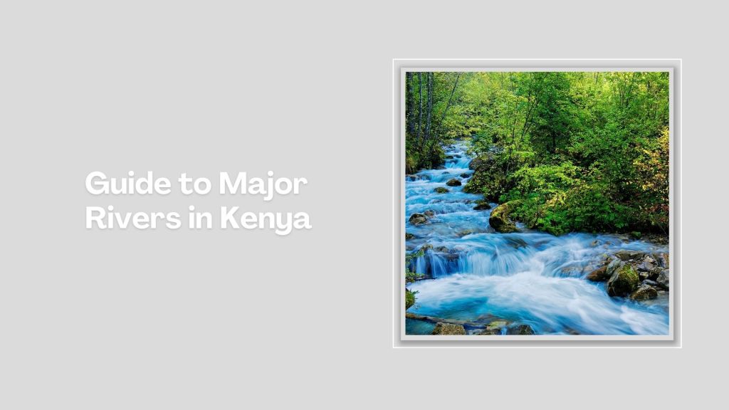
Kenya is blessed with several rivers, each playing a vital role in the country’s ecosystem, economy, and culture. The longest of these is the Tana, stretching approximately 1,000 kilometers from its source in the Aberdare Mountains to the Indian Ocean. Long, wide, short, seasonal, the rivers that crisscross Kenya each contributes to the natural beauty, biodiversity, and socio-economic success.
Index of The Longest Rivers in Kenya


River Tana - approx. 1,000 km: rising in Mount Kenya and Aberdare Ranges and draining into Indian Ocean; Ewaso Nyiro - approx. 700 km: rising in Mount Kenya and draining into the Lorian Swamp; Daua River - approx. 450 km; rising in the Sidamo Highland (through Ethiopia and Kenya) and draining into the Somali Sea; The Mara River - approx. 395 km, formed in Bomet County, after the Nyangores and Amala River merge, it drains into Lake Victoria, and is thus a tributary to the Nile River; Athi-Galana-Sabaki - approx. 390 km; rising in the Aberdare Ranges and draining into Indian Ocean; Mara River - approx. 380 km; rising in the Mau Escarpment and draining into Lake Victoria; Kerio River - approx. 350 km; rising in the Tugen Hills and draining into Lake Turkana; Turkwel River - approx. 340 km; rising in Mount Elgon and draining into Lake Turkana; River Nzoia - approx. 257 km: rising in the Cherangani Hills and draining into Lake Victoria; Southern Ewaso Nyiro - approx. 220 km; rising in the Mau Escarpment and drains into Lake Natron; River Yala - approx. 219 km; rising in the Nandi Escarpment and draining into Lake Victoria; Gucha River - approx. 190 kms: rising in the Kiabonyoru Hills in Nyamira County and draining into Lake Victoria; River Nyando - approx. 153 km: rising in the Mau Escarpment and draining into Lake Victoria


Kitui County is a hidden gem for travelers seeking adventure, culture, and nature. With better infrastructure and marketing, it could become a key destination in Kenya’s tourism map. Known for its arid and semi-arid landscapes, rich Kamba culture, and untapped tourism potential, it is home to many unique attractions, hillscapes, scenic rock formations and valleys ideal for hiking and photography.
Your Are Here: Galana River
Where to Next
Explore Places Nearby Galana River
A Guide to Kitui County


A Summa Digest of Kitui

About Kitui Way Back When

33 Destinations in Kitui County, arranged as one would visit these - north to south - with the aid of in-depth narratives, images, strip maps and distance chart:

Revelation Recreational Park, Kanyonyoo Wildlife Conservancy, B2 Yatta Ranch, Ukasi Hill, Mumoni Hill Forest Reserve, Muvaroa Forest Reserve, Gai (Muruu) Rock, Kiambere Dam, Mwingi National Reserve, Adamson Bridge, Ngomeni Rock, Kitui War Monument, Kitui Villa, Kalundu Public Park, Kitui Hills, Nzambani Rock, Ikoo Viewpoint, Mutito Hills, Mui Basin, Nuu Hills, Mutomo Hill Sanctuary, Mutomo Reptile Park, South Kitui National Reserve, AIC Ikutha, Tsavo East National Park, Athi-Galana River, Kanderi Swamp, Yatta Plateau, Ithumba Camp, Ithumba Hill Camp, The Man-eaters Bridge, Man-eaters Camp

Know More About Kitui County: Its Geography, Land-Use, Highlights, Population, Roads - with the aid of a distance chart, Airports, Climate & National Monuments


What’s The Lay Of The Land in C.15?
Kitui County has a low-lying topography with arid and semi-arid climates. The general landscape of Kitui is flat with a plain that gently rolls down towards the east.

What’s The Air Like In Kitui?
Climate in Kitui is generally hot and dry with little rainfall. Temperatures are high year-round, ranging between 14°C-34°C. The hotter months are September, October, January.

