
Major Rivers in Kisii County


Gucha River: The Longest in Kisii County
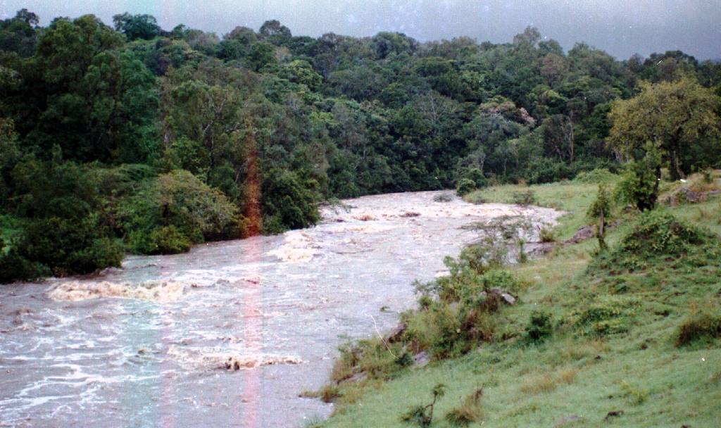
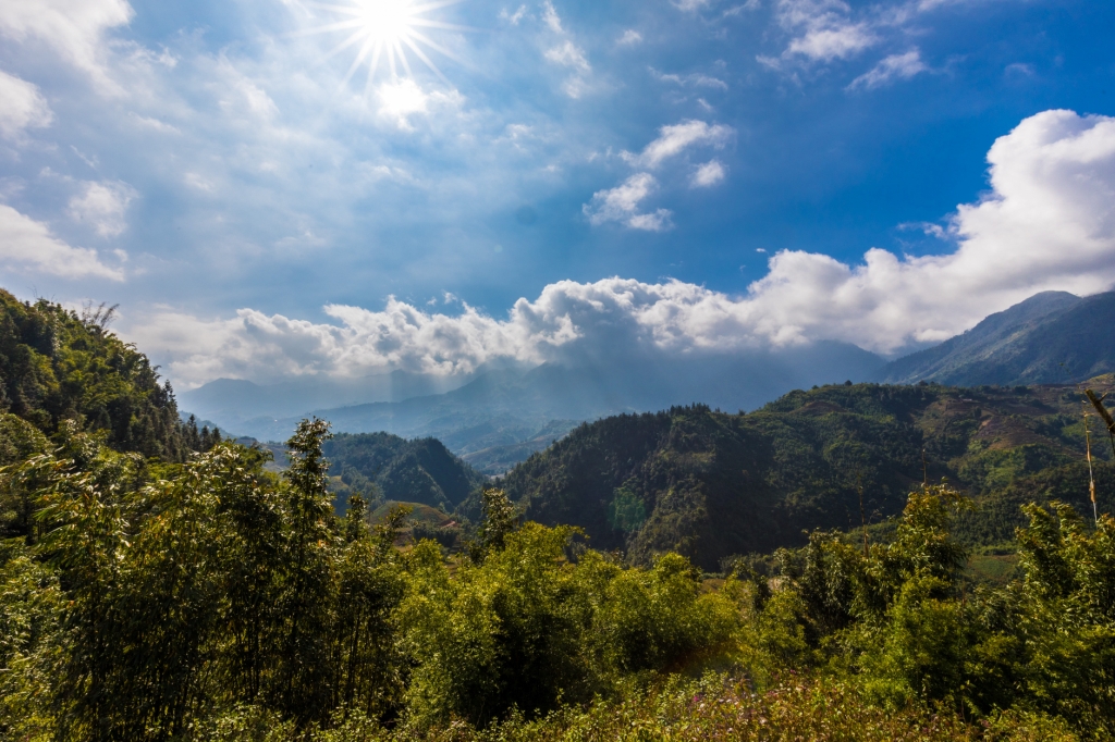
Rising in the Kiabonyoru highlands, River Gucha, or Kuja,, is the longest river in Kisii County, flowing for 150 km, running west through Migori County, before draining into Lake Victoria. The Gucha is marked by high altitude areas with steep slopes in its headwaters. Along its course, River Gucha is joined by River Migori at Sango Nyatike, from where it flows as the Gucha-Migori River to Lake Victoria. River Migori has its headwaters in Chepalungu Forest in Bomet County.
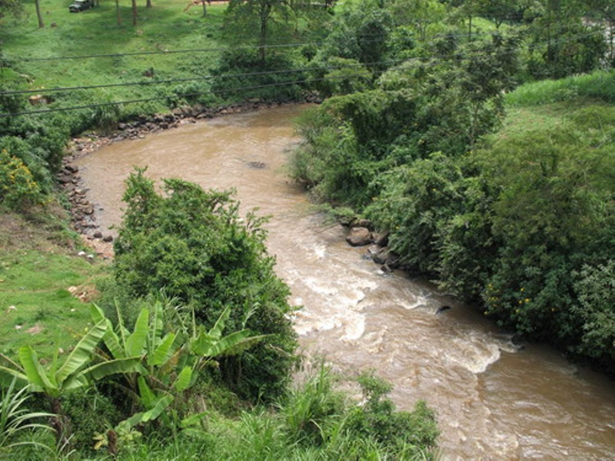
As it runs across Gusiiland part of it becomes the Mogonga River, infamous for its deadly effects when it floods. Mogonga and Gucha are almost equal in size and meet just 1.5 km before flowing through the small town center of Ogembo. In 2001-2002, the Gucha-Migori River changed its course near its mouth, shifting northerly to its present location. About 45 km from Migori, the Gogo Falls dam, completed in 1956 with a capacity of 2MW, is connected to the national grid.
Some of the main highlights of River Gucha in Kisii and Nyamira counties are the impressive waterfalls – Eyaka, Nyakwana and Keera. The most impressive of these, Keera Falls, is situated 10 km north of Nyamira town. The downstream areas of River Gucha have great potential for both riverine tourism and white water sports, notably at Rianyakoora and Ria’nchore. There are also immense opportunity for creating aqua parks, sporting fisheries and recreational areas.
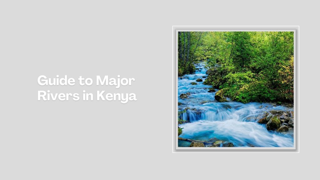
Kenya is blessed with several rivers, each playing a vital role in the country’s ecosystem, economy, and culture. The longest of these is the Tana, stretching approximately 1,000 kilometers from its source in the Aberdare Mountains to the Indian Ocean. Long, wide, short, seasonal, the rivers that crisscross Kenya each contributes to the natural beauty, biodiversity, and socio-economic success.
Index of The Longest Rivers in Kenya


River Tana - approx. 1,000 km: rising in Mount Kenya and Aberdare Ranges and draining into Indian Ocean; Ewaso Nyiro - approx. 700 km: rising in Mount Kenya and draining into the Lorian Swamp; Daua River - approx. 450 km; rising in the Sidamo Highland (through Ethiopia and Kenya) and draining into the Somali Sea; The Mara River - approx. 395 km, formed in Bomet County, after the Nyangores and Amala River merge, it drains into Lake Victoria, and is thus a tributary to the Nile River; Athi-Galana-Sabaki - approx. 390 km; rising in the Aberdare Ranges and draining into Indian Ocean; Mara River - approx. 380 km; rising in the Mau Escarpment and draining into Lake Victoria; Kerio River - approx. 350 km; rising in the Tugen Hills and draining into Lake Turkana; Turkwel River - approx. 340 km; rising in Mount Elgon and draining into Lake Turkana; River Nzoia - approx. 257 km: rising in the Cherangani Hills and draining into Lake Victoria; Southern Ewaso Nyiro - approx. 220 km; rising in the Mau Escarpment and drains into Lake Natron; River Yala - approx. 219 km; rising in the Nandi Escarpment and draining into Lake Victoria; Gucha River - approx. 190 kms: rising in the Kiabonyoru Hills in Nyamira County and draining into Lake Victoria; River Nyando - approx. 153 km: rising in the Mau Escarpment and draining into Lake Victoria


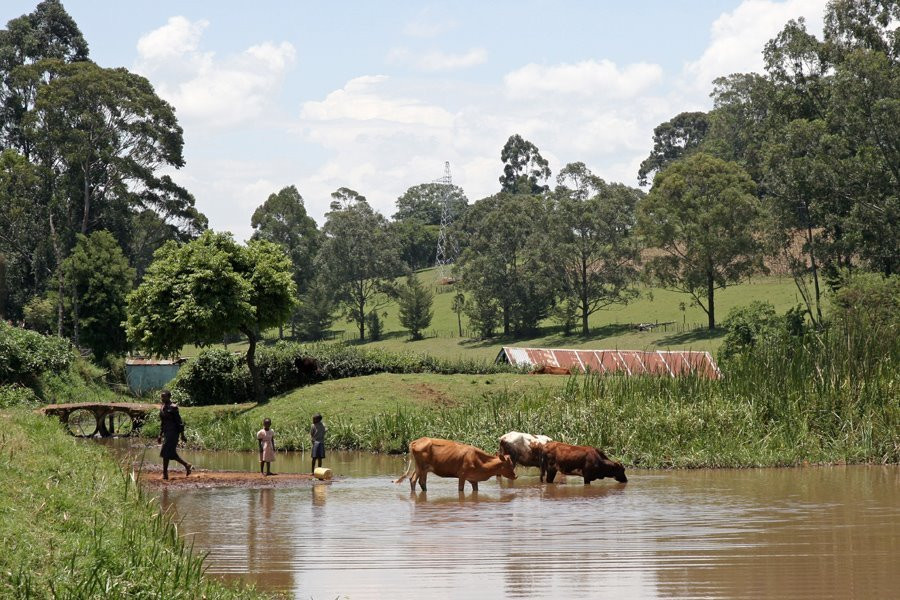
Kisii County is a vibrant region with a strong agrarian base, rich cultural heritage, and a growing economy. Continued development in infrastructure, with smooth blacktop connecting major towns and rural areas, has made it accessible from all directions. Kisii County’s scenic hills, waterfalls, cottage industries and modern hotels offer opportunities for visiting a region erstwhile relegated as agrarian.
You Are Here: River Gucha
Where to Next?
Explore Destinations Nearby River Gucha
A Guide to Kisii County County


A Summa Digest of Kisii

About Kisii Way Back When

16 Destinations in Kisii County, arranged as one would visit these - southeast, west then north - with aid of narratives, images, strip maps and distance chart:

Masabo Hill, Keroka Landscape, Nyakwana Falls, Lake Okari, Nyamarambe Falls, Gucha River, Manga Hills, Itibo Resort, Nyanchwa Hill, Sameta Hill, Kisii Boma Cemetery, Kisii Golf Club, Kamel Park Hotel, Tabaka Soapstone Industry, Nyangweta Forest, Tara Site

Know More About Nyamira County: Its Geography, Land-Use, Highlights, Population, Roads - including a distance chart, Airports, Climate & National Monuments

What’s The Lay Of The Land In C.45?
Generally speaking, Kisii County is a hilly country, amply sloping steep and devoid of flat sweeps, with numerous ridges and valleys.

What’s The Air Like In Kisii?
Kisii exhibits a pleasant highland equatorial climate, with adequate a bi-modal rainfall pattern. Temperatures range between 21oC – 30oC.

