
Camping Sites in Kirinyaga


Timstep Hotel & Campsite: A Riverine Escape
This is found along the banks of Sagana River, just off A2 Nairobi-Nanyuki Road north of Kijani Camp. In area it is close to 10-acres. Features are well-equipped cottages, picnic and camping site as well as water sports such as kayaking and river rafting. Camping equipment is available for hire at a modest fee. Timstep is a very attractive family-oriented retreat with woodland, large open spaces, roomy grounds and kids play area. It is located about 7 km beyond the Makutano turnoff.
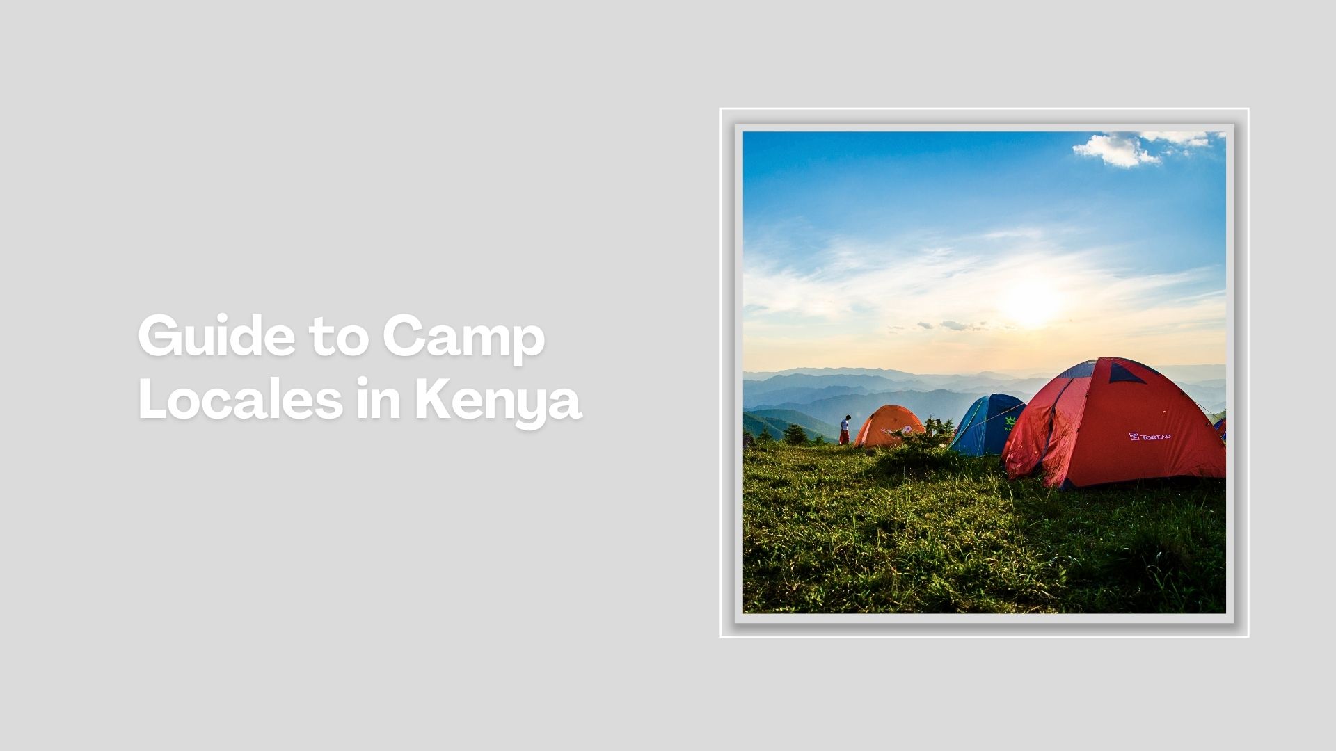
Camping is much more than a pleasant holiday, it’s a great way to truly enjoy Kenya. An inexpensive and indulging do-it-yourself holiday. In the warm Kenyan sun, camping is a way of life the intrepid spiritedly remembers. It is a memorable outdoor activity to carry out whether you are single, as a couple, or as a family.
Index of Camping Sites in Kenya


Baringo County - Maji Moto Hot Springs, Lake Bogoria National Reserve, Robert's Camp, Royal Campsite, Elgeyo Marakwet County - Lelin Campsite, Kilima Resort, Embu County - Camp Ndunda Falls, Mount Kenya Riverside Retreat, Mzima Fishing Camp, Homa Bay County - Abasuba Peace Museum, Siambi Resort, Isiolo County - Boji Dera Camp, The Big North, Kericho County - Chesumot Estate, Kiambu County - Redhill Campsite, Kirinyaga County - Camp Malta, Rukenya Islands, Kijani Camp, Timstep Hotel & Camp, Savage Wilderness, Outdoorman Cabins, Laikipia County - Mukogodo Forest, Ol Maisor Ranch, Tandala Ranch, Machakos County - Swara Plains Mua Hills Tented Camp, Makueni County - Nzaui Range, Muranga County - Aberdare Bongo Lodge, Laibon Gardens & Campsite, Nakuru County - Sanctuary Farm, Hell's Gate National Park, Fisherman's Camp, Lake Oloiden Campsite, Crater Lake Camp, Hyrax Hill Camp, Lake Nakuru National Park, Nyandarua County - Plovers Eco Camp, Maverick Rondavels, Malewa Bundu Camp, Samburu County - Mount Ololokwe, Yale Camel Camp, Siaya County - Hawi's Tented Camp, Taita Taveta County - Ziwani Camp, Lake Jipe Camp, Lualenyi Camp, Tharaka Nithi County - Kinondoni Lodge, Marimanti Lodge, Trans Nzoia County - Mount Elgon National Park, Kitale Nature Conservancy, Saiwa Camp, Turkana County - The Eliye Springs, Uasin Gishu County - Greenwoods

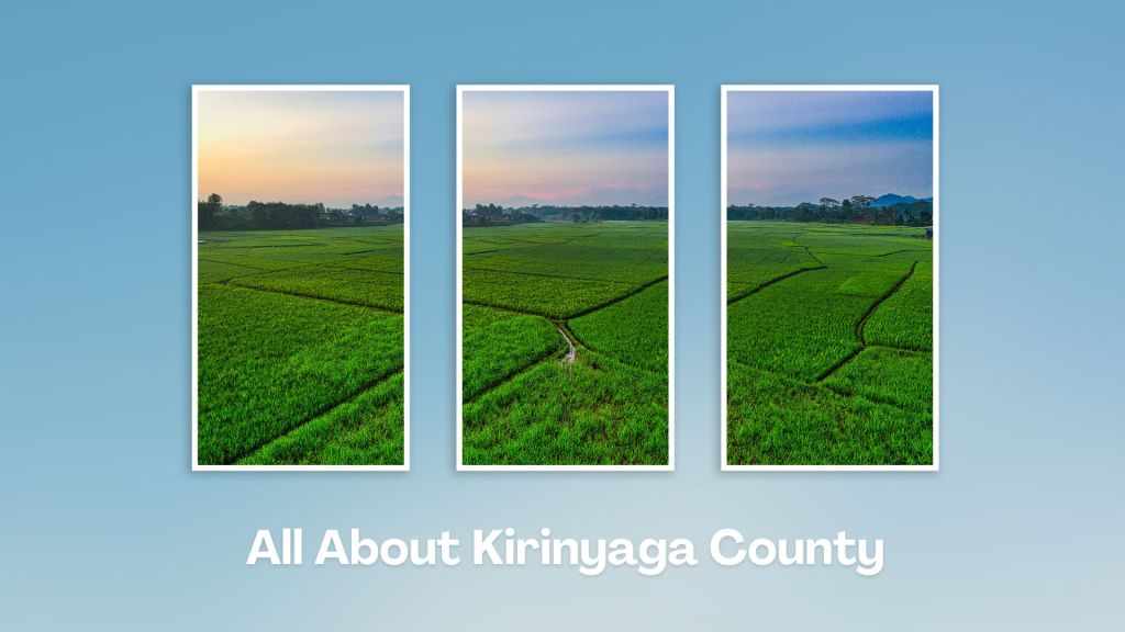
Known for its agricultural productivity, breathtaking landscapes, and cultural heritage, Kirinyaga is a key contributor to Kenya’s economy. Located at the foot of Mount Kenya, its landscape is characterized by lush green tea and coffee farms, rivers, and rolling hills, and the weather, year-round, is temperate and salubrious.
You Are Here: Timstep Hotel & Campsite
Where to Next?
Explore Destinations Nearby Timstep Hotel & Campsite
A Guide to Kirinyaga County


A Summa Digest of Kirinyaga

About Kirinyaga Way Back When

35 Destinations in Kirinyaga County, arranged as one would visit these - south, west, east then south - with the aid of narratives, images, strip maps and distance chart:

Sagana Getaway Resort, Camp Malta, Tana Station, Thingira Cultural Village, Kwetu Home, Gatitika Falls, River Nyamindi, Mwea Rice Scheme, Mwea Classic Marathon, Ndaraca ya Ngai, Rukenya Islands, Murinduko Hill, Njukiini Forest, Kijani Camp, Timstep Hotel & Campsite, Savage Wilderness, Rapids Camp, Sagana Fisheries, Ruamuthambi Falls, Thiba Falls, Thiba Dam, Kamuruana Hill, Ragati Conservancy, Kiburi Farm & Stay, Thiba Fishing Camp, Outdoorsman Cabins, Kathiri Falls, Castle Forest Lodge, Castle Falls, Mount Kenya, Kamweti Route, Kangere Falls, Gichugu Farms, Karumandi Falls

Know More About Kirinyaga County: Its Geography, Land-Use, Highlights, Population, Roads - with aid of strip maps, Airports, Climate & National Monuments

What’s The Air Like In Kirinyaga?
Kirinyaga has a true tropical climate with equatorial rainfall pattern. Mean temperature ranges from a low of 8oC in the upper zones to 30oC in the lower zones about Mwea.


What’s The Lay Of The Land In C.20?
Mount Kenya, occupying on the northern half of Kirinyaga, to a large extent influences both the landscape and the climate. The dryer lowland, typified by pleasant rolling plains, covers most of Mwea.
