
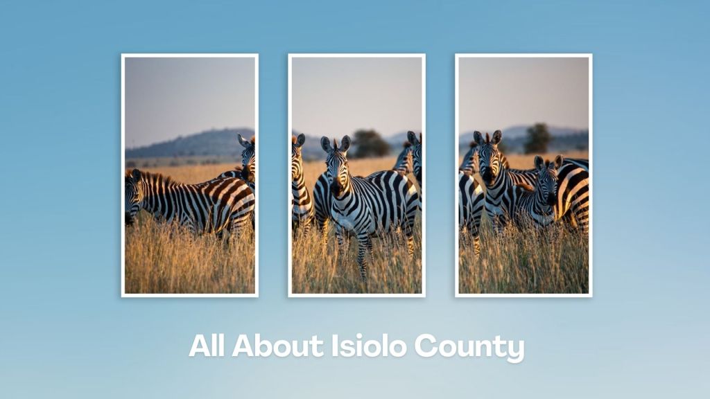
Geography, Land-Use, Highlights, Population, Roads, Airports, Climate & National Monuments in Isiolo County

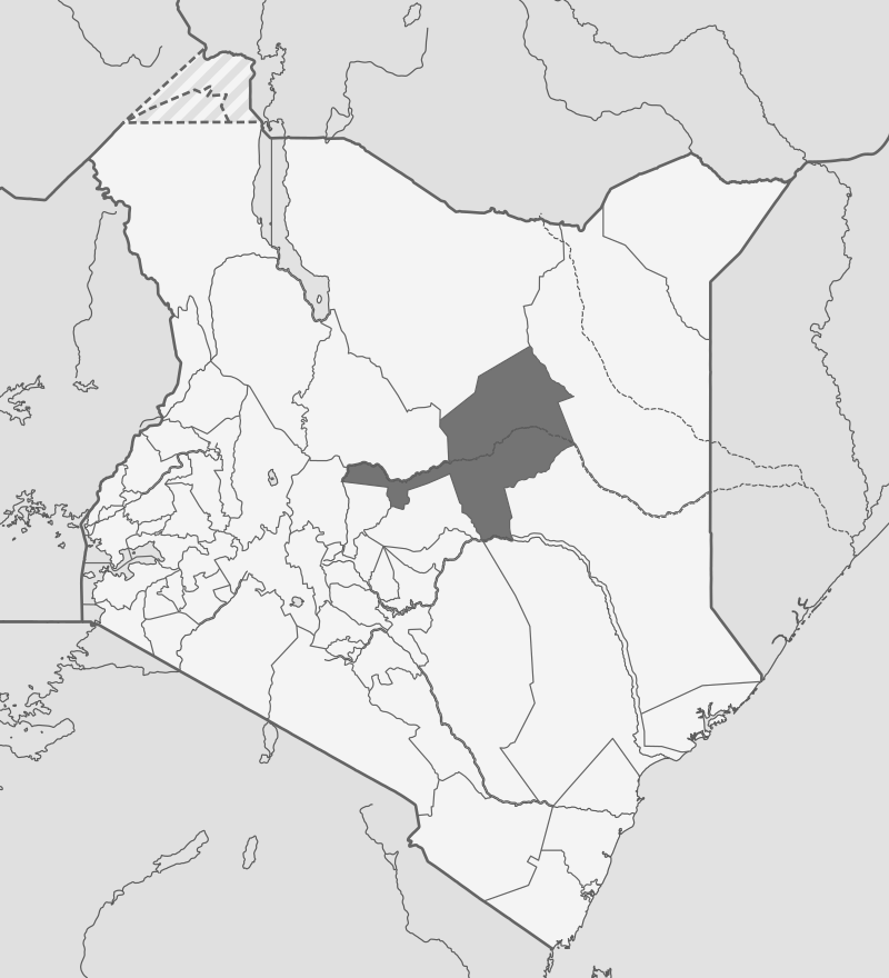


Geography of Isiolo County
Isiolo County is fractionated, broadly, into three ecological zones, semi-arid, arid and very near desert arid. The useful semi-arid zone covers only 5% the county, around Kinna region, with vegetation mainly of thorny bush with short grass. The harsher arid zone covers 30% of its land around Oldonyiro and Ngare Mara. The very arid area covers the rest of Isiolo. Much of Isiolo plains are a flat low-lying peneplain resulting from weathering and sedimentation. These plains rise gently from an altitude of about 200 ms at Lorian Swamp (Habaswein) in the northern area of Isiolo County, to about 300 ms above sea level at the vast Merti Plateau.
Land Use in Isiolo County
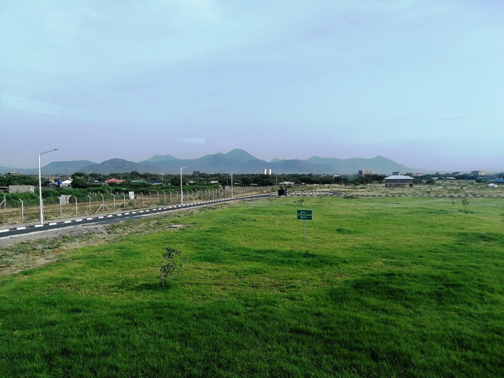
Much of the land within Isiolo County, all but 80%, is communally-owned and is predominantly used as grazing land. The larger portion of the County, which is arid and cannot support meaningful crop farming, is dedicated to pastoralism. By the same token, there are seven major livestock markets within the county at Isiolo, Garba Tula, Kinna, Modogashe, Merti and at Oldonyiro. The main livestock traded in Isiolo County include cattle, goats, sheep and camels. The lion’s share of houses are constructed of mud, grass and wood. These dwellings are dubbed ‘manyattas’ and are temporary in nature. A total of 9,850 of ‘manyattas’ are made of mud and sticks walls, while 5,491 are fabricated using only grass and stick walls. Permanent housing structures are only found around Isiolo town and the other town centers.
Highlights in Isiolo County
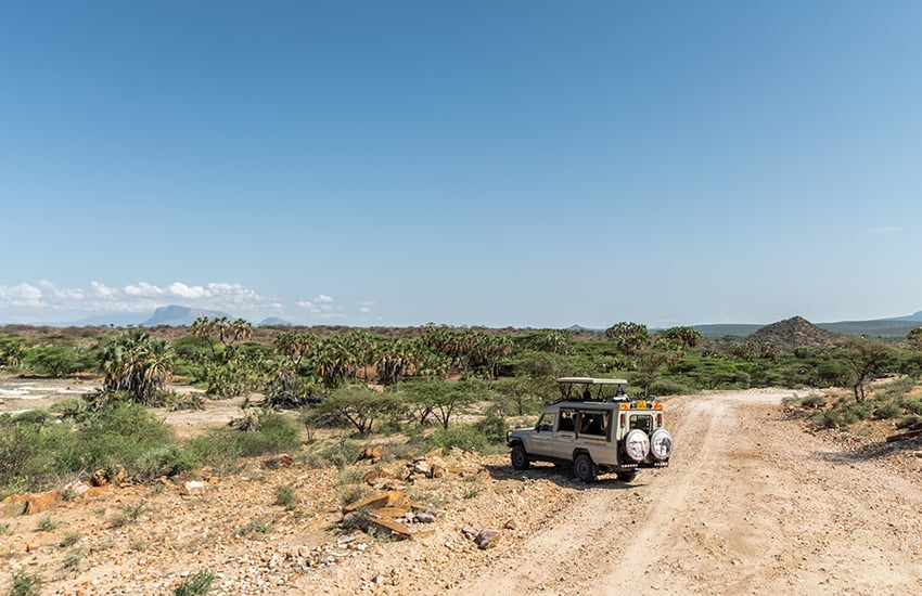
Isiolo County has three national reserves: Shaba, Buffalo Springs and Bisanadi National Reserves. Samburu Reserve and Meru National Park as well as Sera Community Conservancy also border Isiolo County. These parks and reserves are famously known for their natural beauty and abundance of wildlife. Many of the conservancies in Isiolo are also popular for providing sanctuary to black rhinos.
Population in Isiolo County
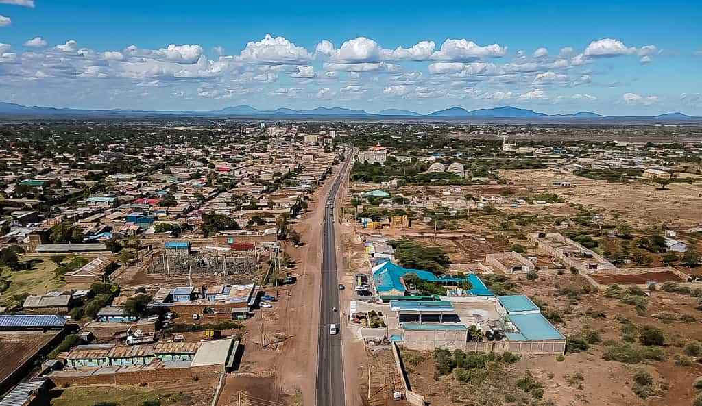
Isiolo County has a lite population density of only 4 people/km2. The population based on the 2009 national census was 143,294. The population was projected to rise to 159,797 by end of 2012 and 191,627 by 2017. The population consists largely of Cushitic communities of Oromo, Borana and Sakuye mingled with Turkana, Samburu, Meru and Somali. Isiolo Town account for 74% of the urban population.
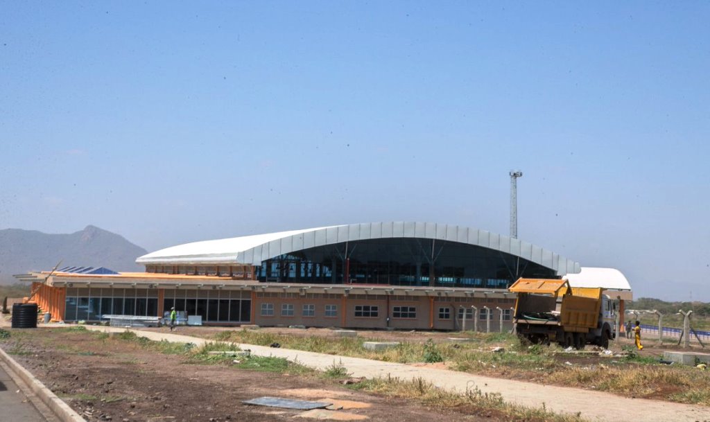
Airports in Isiolo County
Isiolo County has 5 Airstrips. Isiolo Airport has international standards.
Roads in Isiolo County
Isiolo County has a road network of 975.5 km, of which only about 34 km was bituminized in 2012. Gravel and earth surfaced roads account for 22 percent and 75 percent of the total road surfaces. Most roads are motorable year-round.
Climate in Isiolo County
Isiolo County is almost always hot and dry at most months of the year, with two rain seasons. The rainfall received in Isiolo County is historically erratic, scarce and unreliable. High temperatures are recorded in the county throughout the year, with an average of 30oC. On top of that, strong winds blow across the flat and open county throughout the year, peaking in the months from June to August.
National Monuments in Isiolo County
There are no designated national monuments in Isiolo County.
Isiolo County, with its strategic location, rich cultural heritage, and potential for development, is a unique region in Kenya. It features a mix of semi-arid and arid landscapes, with some areas of savannah and bushland, and home to several wildlife reserves and conservancies, including the Buffalo Springs National Reserve, Shaba National Reserve and the famed Lewa Wildlife Conservancy.
You Are Here: Isiolo County
Where to Next?
Explore Destinations in Isiolo County
A Guide to Isiolo County
A Summa Digest of Isiolo
About Isiolo Way Back When
42 Destinations in Isiolo County, arranged as one would visit these - south, north, east then north - with aid of narratives, images, strip maps and distance chart:
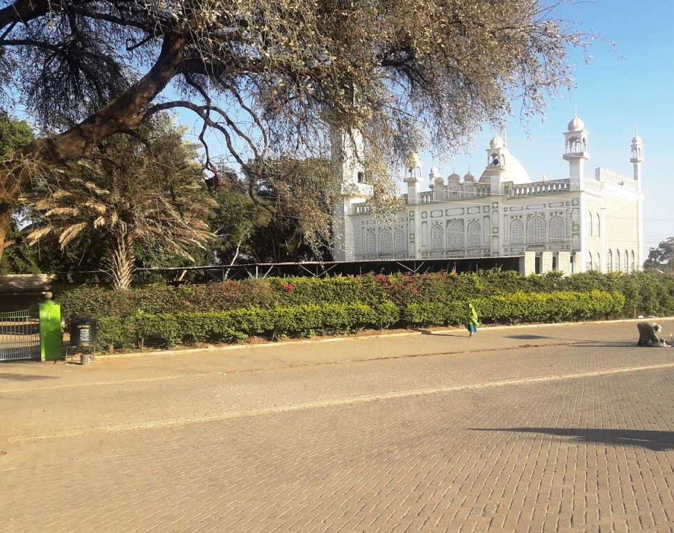
Isiolo Town, St. Eusebius Cathedral, Isiolo Jamia Mosque, Isiolo Memorial, Kisimani Eco Resort, Isiolo Falls, Kaita and Degushi Hills, Nyambeni Range, Magado Crater, Cave Dwellings, Harr Girrissa, Mlima Tatu, Kubi Turkana, Garba Tula, Gotu Falls, Gotu Cultural Centre, Biliqo Bulesa Conservancy, Merti Plateau, Merti Catholic Church, Ewaso Nyiro River, Lorian Swamp, Malka Cultural Centre, Bisanadi National Reserve, Kora Wells, Leparua Conservancy, Ol Lentille Conservancy, The Sanctuary at Ol Lentille, Oldonyiro Conservancy, Nantudu Spire Rock, Nasuulu Conservancy, Buffalo Springs National Reserve, Buffalo Springs, Samburu National Reserve, Samburu Simba Lodge, Shaba National Reserve, Sarova Shaba Lodge, Joy’s Camp, Nakuprat Gotu Conservancy, Boji Dera Camp, Sera Conservancy, Isiolo Cultural Festival, Camping in the Great North
Know More About Isiolo County: Its Geography, Land-Use, Highlights, Population, Roads - with the aid of strip maps, Airports, Climate & National Monuments

What’s The Air Like In Isiolo?
Isiolo is almost always hot and dry at most months of year, with a mean of 30oC, and two rainy seasons. The rainfall received is historically erratic, scarce and unreliable.


What’s The Lay Of The Land In C.11?
Isiolo can be split into three ecological zones, semi-arid, arid and very near desert arid. The smallest, useful, semi-arid zone covers only 5% the county, around Kinna region.
