
Hotels in Embu County


Thuci River Lodge: Country Style Retreat
Thuci River marks the border between Embu and Tharaka Nithi counties. Mount Kenya, where the border commences, is the headwater for Thuci River, draining into River Tana which supplies 80% of Kenya’s electricity utilizing a network of five hydroelectric stations. Thuci River Lodge, a country style lodge in the northern corner of Embu County, oozes the agrestic lifestyle of the agrarian highlands. It is unsophisticated, with modest but standard rooms, a restaurant and bar facilities.
Thuci River Lodge is a birding country, really, but at the outdoor swimming pool merriment seems more the rule. The countryside delights include wading into streams barefoot, fly fishing at Thuci River, and also interacting with the locals. Between meals, guests can retreat to the well-stocked watering hole. This is also a good jumping-off place to tour Nthenge-Njeru, Mount Kenya National Park, Kiang’ombe Forest Reserve and Kianjiru Hill. It is located 34 km from Embu town via B6 Road, turning right at Kathengeri to Kathageri-Kanyuambora Road for 1 km.
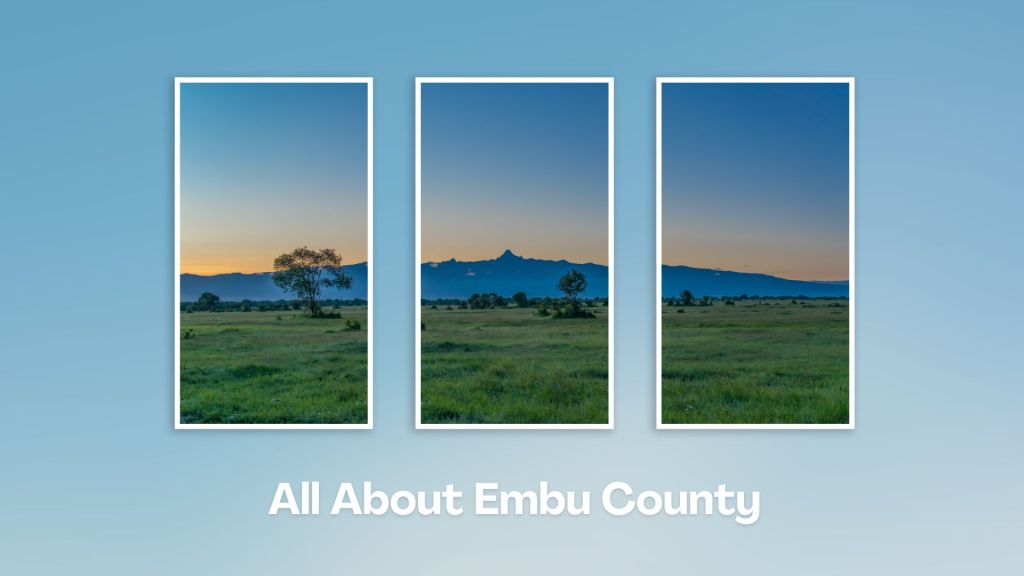
Situated at the base of Mount Kenya, Embu County offers a rich tapestry of cultural heritage, natural beauty, and adventure activities, making it a rewarding destination for travelers seeking an authentic experience in the central highland of Kenya. Engage with the Aembu and Mbeere people, who inhabit the region, and learn about their traditional way of life, like farming practices, music, and dance.
You Are Here: Thuci River Lodge
Where to Next?
Explore Destinations Near Thuci River Lodge
A Guide to Embu County


A Summa Digest of Embu

About Embu Way Back When

32 Destinations in Embu County, arranged as one would visit these - south, west, east then south - with the aid of narratives, images, strip maps and distance chart:

Mwea Rice Plains, Ndaraca ya Ngai, Embu Art Centre, Izaak Walton Inn, Iveche Falls, Karunina Falls, Njukiri Forest, Camp Ndunda Falls, Mount Kenya Riverside Retreat, Embu Golf Range, Murinduko Hill Forest, Karue Hill, Kirimiri Forest, Nthenge Njeru Falls, Nthungu Falls, Nthenge Njeru Hiking Trail, Irangi Forest Station, Mzima Fishing Camp, Kaagari-Gaturi Irrigation, Thuci River Lodge, Mbeere Terraces, Kiang’ombe Forest, Mumoni Hill, Kianjiru Hill, Mwea National Reserve, Kamburu Dam, Riakanau Beach, Masinga Dam, Masinga Dam Resort, Gitaru Dam, Kindaruma Dam, Kiambere Dam

Know More About Embu County: Its Geography, Land-Use, Highlights, Population, Roads - with aid of strip maps, Airports, Climate & National Monuments


What’s The Lay Of The Land In C.14?
Embu is exemplified by its sharply defined uplands, lowland and slopes from the north, northwest towards the east and southeast, with a few isolated hills such as Kiambere and Kiang’ombe.

What’s The Air Like In Embu?
Embu has a typical highland profile, on the windward side of Mount Kenya, with cold and wet upper zones to hot and dry lower zones in Tana River Basin. Temperatures range betwixt 20o and 30oC.

