
Forest Reserves in Embu


Kirimiri Forest: A Thrilling Attraction
Easily sighted from Karue Hill and vice-versa, about 6 km due north through the villages nearby Runyenjes, Kirimiri Forest is divided into four zones: the farmland comprising of tea; forest edge comprising of pine tree; a mixed forest with pine trees; and an intact indigenous forest. On the whole, it covers about 1.7 km2.
Despite having sustained some degradation over the decades, primarily to inch out land for farming and development, this forest patch, now managed by Kenya Forest Service, is for all that still a fetching forest. It is one of the smallest forests in central Kenya but far important than its size suggests. It is a liked walking trail.
Scenically, it forms the abutting foreground from the B6 Embu-Meru highway. It is the flowing canopy that captures and captivates the motorists. Kirimiri Hill, rising to 1790 ms, dominates much of its landscape and is a great walking trail, yet, it is the triple-waterfalls-hike that offers the premier attraction to travellers to Kirimiri.
Commencing at the twin Nthenge-Njeru Falls through to Thungu Falls, this is a beginner-friendly hiking trail. It winds through a circular route, stretching for 10 km, that takes you through some of the best parts of the forest. From ancient trees to panoramic views, this woodland walk, in the hushed country, is a rewarding day out in nature. En-route, there are caves near the waterfalls and others around Kirimiri Hill that are historically significant as they served as hideouts for Mau Mau.

Kenya’s vast forest reserves are of immeasurable importance in biodiversity conservation, water regulation, and carbon storage. Collectively, these forests, natural and exotic, cover 2008 km2 or about 3.4% of Kenya’s land surface area, and 15% of the most fertile land. They also provide important recreational and ecotourism opportunities for visitors to enjoy Kenya’s natural beauty and wildlife.
Index of National Forests & Forests Reserves in Kenya


Baringo County - Tugen Hills Forest, Lembus Forest, Koibatek Forest, Bomet County - Chepalungu Forest, Trans Mara Forest, South Western Mau Forest Reserve, Bungoma County - Chepkitale Forest, Busia County - Budalang'i Forest, Elgeyo Marakwet County - Bugar Forest, Kessup Forest, Embobut Forest, Cherangani Hills Forest Reserve, Embu County - Njukiri Forest, Murinduko Hill Forest, Kirimiri Forest, Kiangombe Forest, Irangi Forest, Homa Bay County - Gwassi Hills Forest, The Kodera Forest, Kakamega County - Kakamega Forest Reserve, Kisere Forest, Malava Forest, Kericho County - Mau Forest Complex, Masaita Forest, Kiambu County - Kinale Forest, Kereita Forest, Kilifi County - Arabuko Sokoke Forest Reserve, Mwangea Hill Forest, Dakatcha Woodland, Kirinyaga County - Murinduko Forest, Njukiini Forest, Kisii County - The Nyangweta Forest, Kitui County - Mumoni Hill Forest Reserve, Muvaroa Hill Forest Reserve, Laikipia County - Marmanet Forest Reserve, Mukogodo Forest, Lamu County - Witu Forest, The Dodori Forest, Boni-Lungi Forest, Machakos County - Iveti Forest Reserve, Makueni County - Kibwezi Forest Station, Marsabit County - Marsabit National Reserve, The Turbi Forest, Meru County - Giitune Sacred Forest, Mucheene Forest, Mpogoro Forest, Ngaya Forest, Nyambane Hill Forest, Ngare Ndare Forest, Muranga County - Aberdare Forest Station, Nairobi County - Ngong Forest, The Karura Forest, Nandi County - South Nandi Forest, North Nandi Forest, North Tinderet Reserve, Nyandarua County - Nyandarua Forest, Dundori Forest, Samburu County - Kirisia Forest, Taita Taveta County - Ngangao Forest, Vuria Hill, Fururu Forest, Tharaka Nithi Forest - Chuka Forest Station, Vihiga County - Nganyi Forest, Kaimosi Forest, The Kibiri Forest, West Pokot County - Kamatira Forest

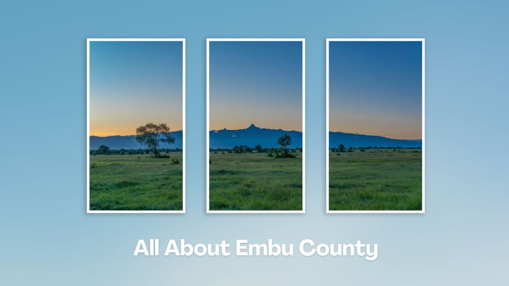
Situated at the base of Mount Kenya, Embu County offers a rich tapestry of cultural heritage, natural beauty, and adventure activities, making it a rewarding destination for travelers seeking an authentic experience in the central highland of Kenya. Engage with the Aembu and Mbeere people, who inhabit the region, and learn about their traditional way of life, like farming practices, music, and dance.
You Are Here: Kirimiri Forest
Where to Next?
Explore Destinations Near Kirimiri Forest
A Guide to Embu County


A Summa Digest of Embu

About Embu Way Back When

32 Destinations in Embu County, arranged as one would visit these - south, west, east then south - with the aid of narratives, images, strip maps and distance chart:

Mwea Rice Plains, Ndaraca ya Ngai, Embu Art Centre, Izaak Walton Inn, Iveche Falls, Karunina Falls, Njukiri Forest, Camp Ndunda Falls, Mount Kenya Riverside Retreat, Embu Golf Range, Murinduko Hill Forest, Karue Hill, Kirimiri Forest, Nthenge Njeru Falls, Nthungu Falls, Nthenge Njeru Hiking Trail, Irangi Forest Station, Mzima Fishing Camp, Kaagari-Gaturi Irrigation, Thuci River Lodge, Mbeere Terraces, Kiang’ombe Forest, Mumoni Hill, Kianjiru Hill, Mwea National Reserve, Kamburu Dam, Riakanau Beach, Masinga Dam, Masinga Dam Resort, Gitaru Dam, Kindaruma Dam, Kiambere Dam

Know More About Embu County: Its Geography, Land-Use, Highlights, Population, Roads - with aid of strip maps, Airports, Climate & National Monuments


What’s The Lay Of The Land In C.14?
Embu is exemplified by its sharply defined uplands, lowland and slopes from the north, northwest towards the east and southeast, with a few isolated hills such as Kiambere and Kiang’ombe.

What’s The Air Like In Embu?
Embu has a typical highland profile, on the windward side of Mount Kenya, with cold and wet upper zones to hot and dry lower zones in Tana River Basin. Temperatures range betwixt 20o and 30oC.

