
Reservoir Dams in Embu


Kiambere Dam: A Fishing Haven
The earth-filled embankment of Kiambere Dam, straddling the border between Embu and Kitui counties, was commissioned in 1987. Its 110 ms tall dam withholds 585,000,000 m3 of water, with the assistance of second earth fill saddle dam to the north. It generates 165 MW. In recent years, Kiambere Dam has come under threat of silting by sand and needs urgent desilting activities like sand harvesting. In addition to hydro-power itis a vital source water for Mwingi and Kitui regions.
Although Kiambere has been a rich source of fish and a favoured fishing spot by locals for many years now, its omens are that its murky waters are also swarmed over with crocodiles and hippos, which have been the subject of an indignant human-wildlife conflict. The main highlight for visitors to Kiambere, and also to Kindaruma, is a chance to see the gushing and unsettling tailrace. There’s also the Kiambere Irrigation Project started in 1996. It is situated 38 km from Kivaa centre.

Kenya has several reservoir dams that play a consequential roles in water supply, hydroelectric power generation, irrigation, flood control, and other water-related activities. The most famous of these are Seven Forks Dams along the Tana River. While reservoir dams are critical infrastructure projects that contribute to Kenya’s economic development, they are also visually stunning go-to destinations.
Index of Dams in Kenya


Baringo County - Chemususu Dam, Kirandich Dam, Bungoma County - Chwele Dam, Muyayi Dam, Makhonge Dam, Kabuchai Dam, Elgeyo Marakwet County - Kimwarer Dam, Arrow Dam, Chebara Dam, Embu County - Gitaru Dam, Kamburu Dam, Masinga Dam, Kiambere Dam, Kindaruma Dam, Kajiado County - The Kiserian Dam, Kericho County - Chemusot Dam, Dimbolil Dam, Londiani Dam, Kiambu County - Ruiru Dam, Thika Dam, Kirinyaga County - Thiba Dam, Kwale County - The Mukurumudzi Dam, Nyalani Dam, Machakos County - Maruba Dam, Makueni County - The Mulima Dam, Mannoni Dam, Katilini, Ndukuma Dam, Thwake Dam, Migori County - Kebharisia Dam, Muranga County - The Ndakaini Dam, Maragua Dam, Mathioya Dam, Nairobi County - Nairobi Dam, Nyamira County - Bonyunyu Dam, Nyandarua County - Matches Dam, Sasamua Dam, Nyahururu Dam, Nyeri County - Chinga Dam, Wanjii Dam, Uasin Gishu County - Kesses Dam, Two Rivers Dam, West Pokot County - The Turkwel Gorge Dam

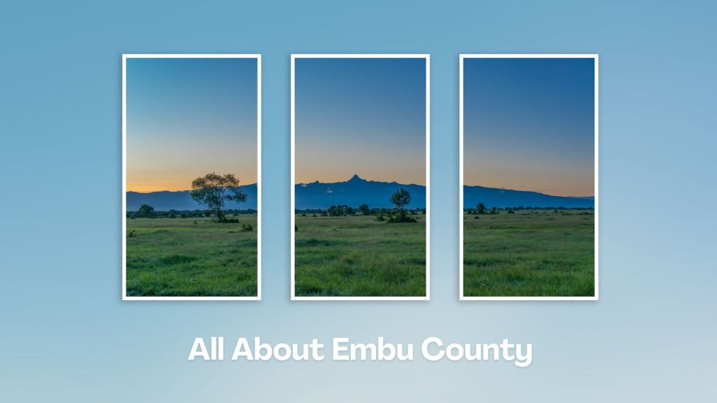
Situated at the base of Mount Kenya, Embu County offers a rich tapestry of cultural heritage, natural beauty, and adventure activities, making it a rewarding destination for travelers seeking an authentic experience in the central highland of Kenya. Engage with the Aembu and Mbeere people, who inhabit the region, and learn about their traditional way of life, like farming practices, music, and dance.
You Are Here: Kindaruma Dam
Where to Next?
Explore Destinations Near Kindaruma Dam
A Guide to Embu County


A Summa Digest of Embu

About Embu Way Back When

32 Destinations in Embu County, arranged as one would visit these - south, west, east then south - with the aid of narratives, images, strip maps and distance chart:

Mwea Rice Plains, Ndaraca ya Ngai, Embu Art Centre, Izaak Walton Inn, Iveche Falls, Karunina Falls, Njukiri Forest, Camp Ndunda Falls, Mount Kenya Riverside Retreat, Embu Golf Range, Murinduko Hill Forest, Karue Hill, Kirimiri Forest, Nthenge Njeru Falls, Nthungu Falls, Nthenge Njeru Hiking Trail, Irangi Forest Station, Mzima Fishing Camp, Kaagari-Gaturi Irrigation, Thuci River Lodge, Mbeere Terraces, Kiang’ombe Forest, Mumoni Hill, Kianjiru Hill, Mwea National Reserve, Kamburu Dam, Riakanau Beach, Masinga Dam, Masinga Dam Resort, Gitaru Dam, Kindaruma Dam, Kiambere Dam

Know More About Embu County: Its Geography, Land-Use, Highlights, Population, Roads - with aid of strip maps, Airports, Climate & National Monuments


What’s The Lay Of The Land In C.14?
Embu is exemplified by its sharply defined uplands, lowland and slopes from the north, northwest towards the east and southeast, with a few isolated hills such as Kiambere and Kiang’ombe.

What’s The Air Like In Embu?
Embu has a typical highland profile, on the windward side of Mount Kenya, with cold and wet upper zones to hot and dry lower zones in Tana River Basin. Temperatures range betwixt 20o and 30oC.

