
Caves in Embu County


God’s Bridge: Ndaraca Ya Ngai
For the B6 Makutano-Embu bound driver the scenery is pleasant. Away from the A2 Nairobi-Moyale Road, the good road becomes less jammed as it runs up to Mount Kenya. It winds between a fairly flat country, and as the gradient climbs, giving way to a precipitous landscape as you near Embu town – situated on the northeast corner of the county. One of the launches the traveller can visit along this stretch is the famous God’s Bridge, more proper Ndaraca ya Ngai. It is found near Mururi Market, about 31 km from Makutano, and 12 km before Embu town.
Then take the left turning shorty after Mururi Market towards Defaith centre for about 1 km. To get to the site requires steady footing, along a narrowed path uncomfortably close to the rushing Nyamindi River. God’s bridge, a natural river cave formation is both a natural marvel and historic site. It was once a hideaway by the infamous Mau-Mau brigades during the struggle for self-rule. Posited with views of Mount Kenya, the bridge was naturally moulded by the Nyamindi River.
The formation of river caves was, in general terms of the process, a dynamic process shaped by the interplay of geological, hydrological, and environmental factors over extended periods of time. The erosive action of Nyamindi River dissolved the limestone and other soluble rocks. Rainwater provided the backing hand, picking up carbon dioxide from the air, and as it percolates through the soil, turned into a weak acid. This slowly dissolved out the limestone along the joints, bedding planes and fractures, enlarging it enough to form the cave, or bridge.
The conduits was initially narrow, but over time, it widened into a large passages due to ongoing dissolution and hydraulic action. As it exists today, the place we now call God’s Bridge is a 15 meters long cave, with plenty of headroom. Inside, the cave is gazed with grey, smoggy and mold-green walls strewn with striking saw-tooth jagged rocks, over the gently flowing river – without airs of its past.
Unlike many river caves, God’s Bridge lacks speleothem formations. In some cases during river cave formations speleothems – such as stalactites, stalagmites, and flowstones – can form within them. These formations develop from the deposition of minerals, primarily calcite, carried by dripping or flowing water. Speleothems can form in various ways, including the precipitation of minerals from dripping water, deposition along the path of flowing water, or through the interaction of different water sources within the cave. Still and all, it’s very pretty!

While Kenya may not be as well-known for its caves as some other destinations, there are still some fascinating caving sites worth exploring. Before embarking on a caving expedition, it’s essential to ensure safety by going with a knowledgeable local guide, wearing appropriate gear, and being aware of potential hazards.
Index of Caves in Kenya


Baringo County - Lomechan Cave, Bomet County - Kipsegon Caves, Bungoma County - Elephant Calving Cave, Namunyu Cave, Busia County - Kakapel Rock Shelter, Elgeyo Marakwet County - Mela Cave, Kiplagoch Caves, Embu County - God's Bridge Cave, Kajiado County - Oloolua Caves, Suswa Caves, Enkapune Ya Muto, Kakamega County - Lirhanda Cave, The Mukai Stone Cave, Kericho County - Van Wicker's Caves, Bagao Caves, Relesic Cave, Chebulu Caves, Kiambu County - The Paradise Lost Cave, Kwale County - Fikirini Caves, Shimoni Caves, Machakos County - Hyena Caves, Makueni County - Kisula Caves, Meru County - Mucheene Cave, Liga Ria Ngutu, Migori County - Mugabo Caves, Nakuru County - Njoro Caves, Hell's Gate Caves, Nandi County - Ngabunat Cave, Taita Taveta County - Dawida Cave, Mwangeka Cave, Taita Skull Cave, Kenyatta Caves, Leviathan, Tharaka Nithi County - Inanduru Bat Cave, Trans Nzoia County - Kitum Cave, Macking’eny Cave, Ngwarishah Cave, Chepnyalil Cave, Kamariny Cave, Vihiga County - Mungoma Caves, Givavei Rock Cave, Wajir County - Shaletey

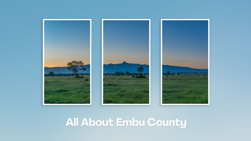
Situated at the base of Mount Kenya, Embu County offers a rich tapestry of cultural heritage, natural beauty, and adventure activities, making it a rewarding destination for travelers seeking an authentic experience in the central highland of Kenya. Engage with the Aembu and Mbeere people, who inhabit the region, and learn about their traditional way of life, like farming practices, music, and dance.
You Are Here: God’s Bridge
Where to Next?
Explore Destinations Near God’s Bridge
A Guide to Embu County


A Summa Digest of Embu

About Embu Way Back When

32 Destinations in Embu County, arranged as one would visit these - south, west, east then south - with the aid of narratives, images, strip maps and distance chart:

Mwea Rice Plains, Ndaraca ya Ngai, Embu Art Centre, Izaak Walton Inn, Iveche Falls, Karunina Falls, Njukiri Forest, Camp Ndunda Falls, Mount Kenya Riverside Retreat, Embu Golf Range, Murinduko Hill Forest, Karue Hill, Kirimiri Forest, Nthenge Njeru Falls, Nthungu Falls, Nthenge Njeru Hiking Trail, Irangi Forest Station, Mzima Fishing Camp, Kaagari-Gaturi Irrigation, Thuci River Lodge, Mbeere Terraces, Kiang’ombe Forest, Mumoni Hill, Kianjiru Hill, Mwea National Reserve, Kamburu Dam, Riakanau Beach, Masinga Dam, Masinga Dam Resort, Gitaru Dam, Kindaruma Dam, Kiambere Dam

Know More About Embu County: Its Geography, Land-Use, Highlights, Population, Roads - with aid of strip maps, Airports, Climate & National Monuments


What’s The Lay Of The Land In C.14?
Embu is exemplified by its sharply defined uplands, lowland and slopes from the north, northwest towards the east and southeast, with a few isolated hills such as Kiambere and Kiang’ombe.

What’s The Air Like In Embu?
Embu has a typical highland profile, on the windward side of Mount Kenya, with cold and wet upper zones to hot and dry lower zones in Tana River Basin. Temperatures range betwixt 20o and 30oC.

