
Geography, Land-Use, Highlights, Population, Roads, Airports, Climate & National Monuments in Embu County


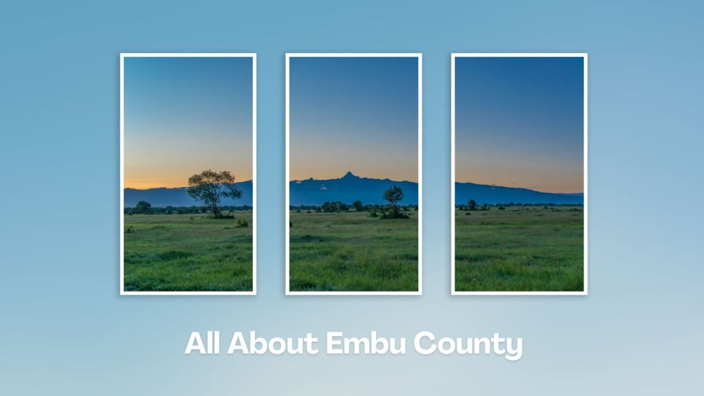
Geography of Embu County
Embu County is exemplified by its sharply defined uplands, lowland and slopes from the north, northwest towards the east and southeast, with a few isolated hills such as Kiambere and Kiang’ombe. Embu County rises from about 515 ms at the River Tana Basin in the east to 5,199 ms at the top of Mount Kenya in the northwest. The southern area of Embu is covered by Mwea Plains, which rise northwards, culminating in hills and valleys to the northern and eastern parts of the county. There are also steep slopes at the foot of Mount Kenya. Embu is drained by six major rivers: Thuci, Tana, Kii, Rupingazi, Thiba and Ena Rivers.
Land Use in Embu County
Embu is characterised by a predominantly rural settlement pattern. There is a vast concentration of people along the major permanent water sources, such as, its rivers and dams, where irrigation, farming and fishing are carried out. The settlement pattern is also influenced by social economic activities, rain, and soil fertility. The lower parts, covering areas which receive less rainfall, have a more scattered settlement pattern compared to the upper regions with more rainfall.
Highlights of Embu County
Embu County is best-known for its major dams – that are partly in the county – which generate 75% of Kenya’s hydroelectric power. These comprise of Gitaru, Kamburu, Masinga, Kiambere and Kindaruma dams, all found along the River Tana. The most conspicuous physical features in the county are Mount Kenya, Kiang’ombe, Kianjiru and Karue Hills, Mwea Game Reserve and River Tana.
Population of Embu County
Embu County was projected to have had an average population density of 193 people/ km2 in 2012. This was projected to be 203 and 210 in 2015 and 2017, respectively. The total population of Embu County was estimated to be 538,355 people, comprising of 265,212 males and 273,143 females, as at 2012, and was projected to rise to 561,446, by 2015 and 577,390 by 2017. The county’s urban population was 42,619 in 2012, out of which, Embu had a population of 37,606 and Siakago and Runyenjes had 2835 and 2178.
Airports in Embu County
Embu County has two airstrips: one at Don Bosco in Embu Town, used mainly for security purposes, and other airstrip at Kiambere, used mainly by KenGen.
Roads in Embu County
Embu County is traversed by the B6 (Makutano-Meru Road) which is the major transport spine and passes through major urban centres in the county such as Embu and Runyenjes. Its roads consists of 914 kms of earthen surface and 120 kms of standard roads that include Embu-Meru Road and Embu-Kiritiri Road.
Climate in Embu County
Embu County manifests a typical agro-ecological profile of the windward side of Mount Kenya, from cold and wet upper zones to hot and dry lower zones in the Tana River Basin areas. The extensive altitude range of Embu County – from 515 ms to 5199 ms – also influences temperatures, that ranges from widely from 20o to 30oC. July is usually the coldest month while September is the warmest.
National Monuments in Embu County
There are no designated national monuments in Embu County.
Situated at the base of Mount Kenya, Embu County offers a rich tapestry of cultural heritage, natural beauty, and adventure activities, making it a rewarding destination for travelers seeking an authentic experience in the central highland of Kenya. Engage with the Aembu and Mbeere people, who inhabit the region, and learn about their traditional way of life, like farming practices, music, and dance.
A Guide to Embu County


A Summa Digest of Embu

About Embu Way Back When

32 Destinations in Embu County, arranged as one would visit these - south, west, east then south - with the aid of narratives, images, strip maps and distance chart:

Mwea Rice Plains, Ndaraca ya Ngai, Embu Art Centre, Izaak Walton Inn, Iveche Falls, Karunina Falls, Njukiri Forest, Camp Ndunda Falls, Mount Kenya Riverside Retreat, Embu Golf Range, Murinduko Hill Forest, Karue Hill, Kirimiri Forest, Nthenge Njeru Falls, Nthungu Falls, Nthenge Njeru Hiking Trail, Irangi Forest Station, Mzima Fishing Camp, Kaagari-Gaturi Irrigation, Thuci River Lodge, Mbeere Terraces, Kiang’ombe Forest, Mumoni Hill, Kianjiru Hill, Mwea National Reserve, Kamburu Dam, Riakanau Beach, Masinga Dam, Masinga Dam Resort, Gitaru Dam, Kindaruma Dam, Kiambere Dam

Know More About Embu County: Its Geography, Land-Use, Highlights, Population, Roads - with aid of strip maps, Airports, Climate & National Monuments


What’s The Lay Of The Land In C.14?
Embu is exemplified by its sharply defined uplands, lowland and slopes from the north, northwest towards the east and southeast, with a few isolated hills such as Kiambere and Kiang’ombe.

What’s The Air Like In Embu?
Embu has a typical highland profile, on the windward side of Mount Kenya, with cold and wet upper zones to hot and dry lower zones in Tana River Basin. Temperatures range betwixt 20o and 30oC.

