
The Somali Backcountry


A Summa Digest of Wajir County
Wajir County is located in north-east Kenya, bordered by Ethiopia to the north, Somalia to the east, and the counties of Isiolo, Marsabit, Garissa and Mandera to the south, west, and northeast. Landwise Wajir is vast, 56,686 km2, Kenya’s third largest. But, thanks to its altitude, rarely rising over 460 metres asl, it is sparsely populated. Life here impressively endures oven-like daily summers that rarely fall below 30 celsius. Wajir County is among a third of the least populated counties.
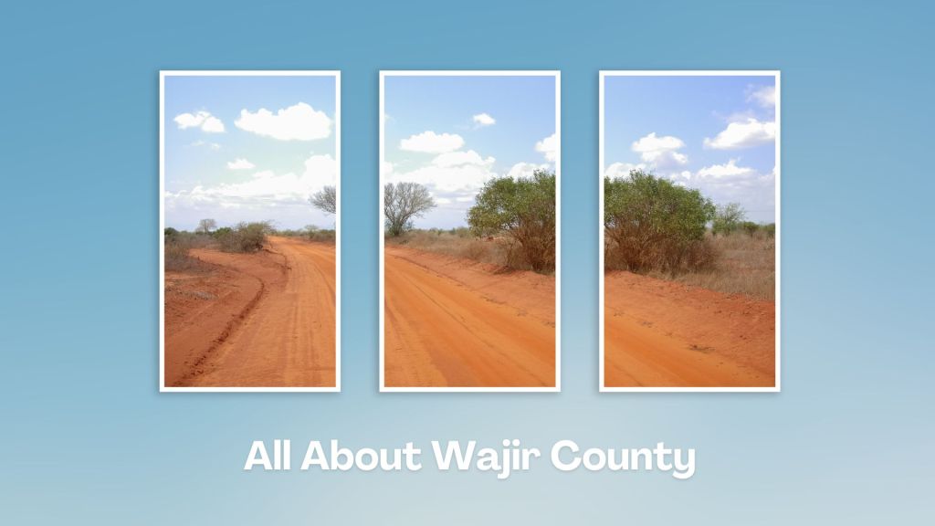
That is to also say Wajir County is almost entirely an arid region. Its central area is underlain by limestone, with the rest of the county being an endless, featureless, undulating plain of grey soils. The grey soils carry a similar profile to the limestone, but where black soils occur trees and scrub are usually absent, and the only flora is rough grass. The vegetal profile over much of Wajir County is equally rigorously monotonous. It is mostly dense low thorny scrub and dry open bush with isolated clumps of trees. Thicker scrubs with low trees usually follow the dry stream beds.
Wajir County is home to various ethnic groups, including the Somali, Borana, and Gabraa communities. It is principally dwelled in by the Somali tribes of Degodia, Ajuraan and Ogaden origin, among whom the wells and grazing rights are divided. At most times of the year, life among these communities is centered on the wells of Wajir, and seasonal laghas elsewhere, but during and after the rainy seasons the various tribes, usually nomadic, are sparsely scattered over the whole area.
The decisive hallmark of Wajir County is, beyond doubt, its perceived and actual separation from the rest of Kenya. This obscure status quo, evidenced in the wide development gap, is only jacked up by its distance from the rest of Kenya. On top of that, the hot and inhospitable nature of Wajir’s climate, tempered by scotching and torrid heat in the dry months, further widens the dissociation. The reflection of the whitish surface in Wajir County, amplifying the heat, only fans the flames.
As you would expect, Wajir County was, for the last half of the last century, a less travelled part of Kenya and its unfamiliar landscapes, typified by the endless featureless plains, little-known to the traveler. The 348 km journey from Isiolo to Wajir was not inviting – if you consider that the entire county had only 28 km of tarmac road, all within Wajir town, in 2013. The trip to Wajir required a strong-minded intrepid with finicky driving along the jerkwater country eager to break most cars. Subsequently, some of its other towns have gotten smooth blacktop roads, and it is hoped that by 2025 it will be a smooth ride from Nairobi to Wajir.
Wajir town, its capital and largest, is the major business and administration centre of north-eastern Kenya. It has the most developed amenities, like a number of modest hotels and lodges, among all the town in Wajir County. It is connected to Isiolo, Moyale, EI Wak, Malka Murri and Bardera by road. Other major towns in the county include Eldas and Habaswein. Propitiously, Wajir town has an airport, set photogenically near the tiny Lake Yahud, which is the quickest way to get there.
Wajir County is a treasure trove for many a history buff and the nostalgia of the bygone era is almost tangible, awash with relics of the colonial days and those of the corresponding battles with Italian-Somalia. Then, there is the gripping history of the Somali tribes, and their stirring cultures and good humour, which is the highlight of Wajir (locally pronounced as Wajier). It has a lovely museum, too.
Livestock production is the backbone of Wajir’s economy, with over eighty percent of the inhabitants directly or indirectly deriving their key livelihood from their livestocks of camels, cows, and goats. Trade, and small-scale agriculture are gaining good traction. Like other parts of the northeastern region of Kenya, Wajir County has come up against security challenges, including occasional conflicts between communities, inter-clan disputes, and occasional incidents of insecurity related to cross-boundary activities and extremist groups operating in Somalia.
Salient Features of Wajir County
- County Number 08
- Area – 56,686 km2
- Altitude – 150 to 460 ms
- Major Towns – Wajir, Habaswein, Tarbaj
- Borders – Mandera, Isiolo, Marsabit, Garissa
Wajir County offers a unique opportunity to explore a region known for its rich cultural heritage and unique landscapes. Its arid and semi-arid landscapes, including vast plains, rocky outcrops, and seasonal rivers, harbours plenty of wildlife adapted to arid conditions. Wajir County is a region shaped by its cultural heritage, resilience in harsh environments, and the traditions of its pastoralists.
You Are Here: Wajir County
Where to Next?
Explore Destinations in Wajir County
A Guide to Wajir County


A Summa Digest of Wajir

About Wajir Way Back When

20 Destinations in Wajir County, arranged as one would visit these - north, west then south - with the aid of narratives, images, strip maps and distance chart:

Wajir Oasis Hotel, Lake Yahud, Wagalla Monument, Old Wajir Town, Orahey Wells, Orahey Bunkers, Fort Wajir, Wajir Museum, Wajir War Cemetery, Esspresso Royale, Wajir Livestock Market, Wajir Giraffe Sanctuary, Shaletey Caves, Grosso Griftu, Malabar Hill, Mansa Guda Formation, Sabuli Wildlife Conservancy, Sabena Desert, Lorian Swamp, Habaswein

Know More About Wajir County: Its Geography, Land-Use, Highlights, Population, Roads - including a distance chart, Airports, Climate & National Monuments


What’s The Lay Of The Land In C.08?
Wajir is a featureless plain which lies between 150 ms and 460 ms above sea level. The plain rises gently from the south and east towards the north rising from 150 ms at Buna to 460 ms around Bute.

What’s The Air Like In Wajir?
Average mean temperature is 29oC, with average monthly temperatures rarely going beyond 35oC. The warmest months are February and March. Rainfall is minimal.

