
Irrigation Schemes in Bomet

Chebara Irrigation Scheme: Humble Inception
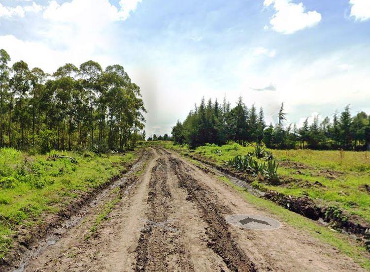
Chebara irrigation scheme is situated in Sigor Ward of Chepalungu Sub-County. It is a small holder project that was initiated by Chebara farmers in 2000. At this time a hydra was used to pump water to a satellite tank, and the coverage was only 10 farmers with just 2 acres of irrigation. In 2011, Chebara Irrigation Scheme received funding from the National Irrigation Board, enabling the upgrading and expansion of the project to a gravity fed system with a target of 350 hectares.
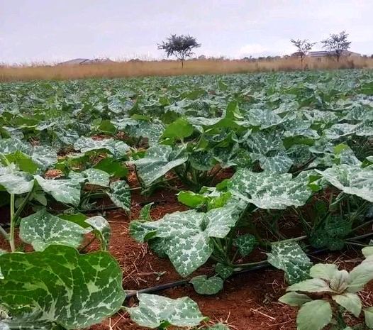
The system was operationalized in February 2016 and currently covers pockets of farmers (irrigation farms) in Tebeswet, Tumoi, Chebaraa and Kinyogi villages. The main crops being grown at Chebara Irrigation Scheme include, largely, tomatoes, cabbages, maize, few fruit trees, few bananas and bulb onions. And while the project coverage is still small, at only 72 Ha (20.57%) of the target 875 acres and only 72 active farmers out of the targeted 850, it is a good start to greater goals.

Kenya has implemented various irrigation schemes to improve agricultural productivity, ensure food security, and promote economic development. Irrigation plays a crucial role in Kenya’s agricultural sector, particularly in areas prone to drought and erratic rainfall, by providing a reliable source of water.
Index of Irrigation Schemes in Kenya


Bomet County - Nogirwet Irrigation Scheme, Chebara Irrigation Scheme, Baringo County - Perkerra Irrigation Scheme, Busia County - Bunyala Irrigation Scheme, Kocholia Irrigation Scheme, Embu County - Kaagari-Gaturi Irrigation Scheme, Mwea Rice Irrigation Scheme, Migori County - Lower Kuja Irrigation Scheme, Lower Sabor Irrigation, Rwabura Irrigation Development Project, Tana River County - Bura Irrigation Development Project, Galana Kulalu Irrigation Development, Turkana County - Turkana Irrigation Irrigation Project, West Pokot County - Wei-wei Irrigation Scheme

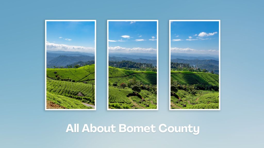
Touring Bomet County offers a chance to explore the lush landscapes, cultural heritage, and natural attractions of Kenya’s Rift Valley region. Whether you’re interested in nature, culture, or adventure, Bomet offers a diverse range of attractions and activities to explore. It is also a jumping-off place to Masai Mara.
You Are Here: Chebara Irrigation Scheme
Where to Next?
Explore Destinations Near Chebara Irrigation Scheme
A Guide to Bomet County


A Summa Digest of Bomet

About Bomet Way Back When

20 Destinations in Bomet County, arranged as one would visit these - east, north, south then west - with aid of narratives, images, strip maps and distance chart:

Kipsigis Oasis Sanctuary and Culture, Chepalungu Forest, Nogirwet Irrigation Scheme, Chebara Irrigation Scheme, Kaplelach Cultural Centre, Masese Nyangores Ecotourism, Nyangores River, Masai Mara National Reserve, Fair Hills Hotel, Sahara Gardens Hotel, The Willis Hotel, Tenwek Falls, Motigo Hill, Kipsegon Ecosystem, Tirgaga Tea Factory, Trans Mara Forest, South Western Mau Forest, Iria Maina Falls, Changoi Tea Factory

Know More About Bomet County: Its Geography, Land-Use, Highlights, Population, Roads - including a distance chart, Airports, Climate & National Monuments

What’s The Air Like In Bomet?
Rainfall is evenly distributed in Bomet, except for the short dryer season in January and February. Temperature levels range from 16oC to 24oC with the coldest months between February and April; and July.


What’s The Lay Of The Land In C.36?
Bomet has an undulating topography that gives way to a flatter terrain in the south. The overall slope is towards the south, except the north eastern region – which rises eastwards towards the 3,000 ms Mau Mountain Complex.
