
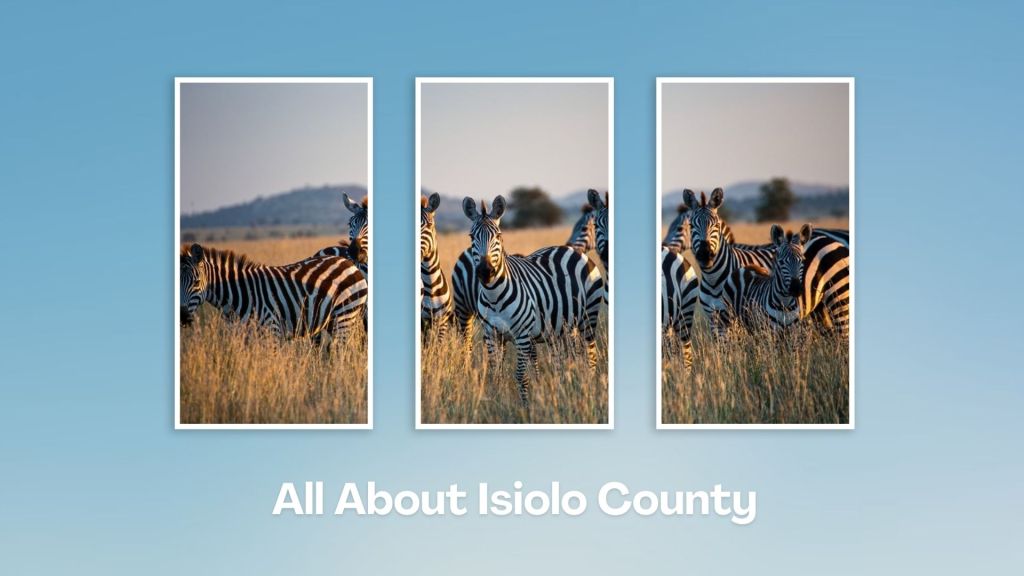
Natural Landmarks in Isiolo


Nyambene Range: A Picturesque Hillscape
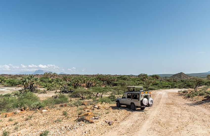
The southern region of Isiolo County, along the B9 Road, has exemplar views of the Nyambeni Range. A heavily wooded group of long hills and range rising to 2,500 metres (8,200 feet) at the highest point within the Nyambeni Forest Reserve. The prominently add to the mosaic of views, along one of the most pleasing drives in Isiolo County from the point of view of scenery. The range is elongated in a north-east to south-west strike from the slopes of Mount Kenya varying in height from a few hundred feet in the south to fifty feet or so to the north, in which direction it gradually disappears. The gneiss hills close to Isiolo have been eroded down to about 5,700 feet and thus are somewhat lower.
The distinct Nyambeni Range, a shield volcano, is capped by phonolite lava domes, basaltic cones, and lava flows of late-Pleistocene. This sequence of volcanic ash cones puys of Nyambeni Range remain unfamiliar to many, partly because travelling to this region was only previously made by few strong-minded trippers who had to brave the sultry, torrid, dusty and desolate area with roads in disrepair. Today, the Nyambeni Range is within easy reach via a newly laid road that will end up in Wajir. Beyond the range, the plains merges with moderate lava cones, which extend this bolster rugged puys to near Isiolo town, 46 km away.

Kenya is blessed with a diverse range of natural landmarks, showcasing the country’s stunning landscapes and rich biodiversity. These natural landmarks represent Kenya’s breathtaking beauty and ecological diversity, making it a top destination for safari adventures, outdoor, and wilderness exploration.
Index of Natural Landmarks Around Kenya


Baringo County - Paka Volcano, Metkei Ridge, Tugen (Kamasia) Hills, Silale Crater, Bomet County - Motigo Hill, Bungoma County - Kabuchai Hills, Luucho Hills, Busia County - Samia Hills, Namenya Hill, Namenya Hill, Elgeyo Marakwet County - Kerio Valley, Elgeyo Escarpment, Mektei Ridge, Cherangani Hills, Embu County - Karue Hill, Kianjiru Hill, Mumoni Hill, Garissa County - Merti Plain, Homa Bay County - Asego & Kasarua Hills, Ruri Hills, Gembe Hills, The Gwassi Hills, Kanyamwa Escarpment, Isiolo County - Merti Plateau, Nyambene Range, Mlima Tatu Kula Mawe, Kajiado County - Ngong Hills, Mount Suswa, Ol Doinyo Orok, Chyulu Hills, Kericho County - Tinderet Mountain, Kiambu County - Kijabe Hills, Kilifi County - Marafa Gorge, Kisumu County - Kajulu Hills, Kitui County - Yatta Plateau, Laikipia County - Laikipia Plateau, Makueni County - Nzaui Range, Mandera County - Dandu Hills, Marsabit County - Mount Nyiru, Nabuyatom Cone, Mount Kulal, Mount Marsabit, Hurri Hills, Sololo Escarpment, Mount Forore, Meru County - Kierra Ridge, Mount Kenya, Nakuru County - Mount Longonot, Eburru Mountains, Menengai Crater, Nandi County - Nandi Hills, Nyando Escarpment, Kamulat Hill, Nandi Scarp, Narok County - Nguruman, Loita Hills, Siria Ridge, Nyamira County - Kibugat Hill, Emanga Hills, Kiabonyoru Hill, Nkoora Hill, Nyandarua County - Aberdare Range, Mount Kipipiri, Samburu County - Scared Mount Ololokwe, Ndoto Mountain Range, Mathews Range, Mount Nyiru, Samburu Hills, Loroghi Plateau, Siaya County - Got Ramogi, Taita Taveta County - Taita (Range) Hills, Mount Sagalla, Ngulia Hills, Mount Kasigau, Tharaka Nithi County - Kijegge Range, Turkana County - Mogila Hills, Loima Hills, Vihiga County - Bunyore Hills, Maragoli Hills, Wajir County - Mansa Guda Range, Malabar Hill, West Pokot County - Mount Murpus, Koh Hill, Sekerr Range

Isiolo County, with its strategic location, rich cultural heritage, and potential for development, is a unique region in Kenya. It features a mix of semi-arid and arid landscapes, with some areas of savannah and bushland, and home to several wildlife reserves and conservancies, including the Buffalo Springs National Reserve, Shaba National Reserve and the famed Lewa Wildlife Conservancy.
You Are Here: Nyambene Range
Where to Next?
Explore Destination Nearby Nyambene Range
A Guide to Isiolo County


A Summa Digest of Isiolo

About Isiolo Way Back When

42 Destinations in Isiolo County, arranged as one would visit these - south, north, east then north - with aid of narratives, images, strip maps and distance chart:

Isiolo Town, St. Eusebius Cathedral, Isiolo Jamia Mosque, Isiolo Memorial, Kisimani Eco Resort, Isiolo Falls, Kaita and Degushi Hills, Nyambeni Range, Magado Crater, Cave Dwellings, Harr Girrissa, Mlima Tatu, Kubi Turkana, Garba Tula, Gotu Falls, Gotu Cultural Centre, Biliqo Bulesa Conservancy, Merti Plateau, Merti Catholic Church, Ewaso Nyiro River, Lorian Swamp, Malka Cultural Centre, Bisanadi National Reserve, Kora Wells, Leparua Conservancy, Ol Lentille Conservancy, The Sanctuary at Ol Lentille, Oldonyiro Conservancy, Nantudu Spire Rock, Nasuulu Conservancy, Buffalo Springs National Reserve, Buffalo Springs, Samburu National Reserve, Samburu Simba Lodge, Shaba National Reserve, Sarova Shaba Lodge, Joy’s Camp, Nakuprat Gotu Conservancy, Boji Dera Camp, Sera Conservancy, Isiolo Cultural Festival, Camping in the Great North

Know More About Isiolo County: Its Geography, Land-Use, Highlights, Population, Roads - with the aid of strip maps, Airports, Climate & National Monuments

What’s The Air Like In Isiolo?
Isiolo is almost always hot and dry at most months of year, with a mean of 30oC, and two rainy seasons. The rainfall received is historically erratic, scarce and unreliable.


What’s The Lay Of The Land In C.11?
Isiolo can be split into three ecological zones, semi-arid, arid and very near desert arid. The smallest, useful, semi-arid zone covers only 5% the county, around Kinna region.
